
Gaston Neighbors Through Block Records
Public records around a Gaston block describe land, government districts, and limited civic contacts. The useful starting point is the parcel containing the address. From there, the map can identify adjoining parcels, their physical addresses, the assessed owner, a tax mailing address, and deed or plat references. That is a land record view, not a list of every occupant.
Different sources answer different block questions. The map establishes which parcels touch. Tax data provides assessment facts. A voter record describes a registered voter only under state rules. City-recognized groups provide a public civic connection, but their public descriptions are not membership rosters.
| Block source | What it can show about the area | Access and limit |
|---|---|---|
| Gaston County GIS Map | Parcel shape, nearby parcels, layers, physical address, and property-detail fields | Free public reference map; not a legal survey |
| Gaston GIS Search | Owner, mailing address, parcel/PIN, deed, plat, sale, use, and property characteristics | Free property search; owner is not automatically an occupant |
| North Carolina Voter Search | Individual registration status, districts, and public voter details | Name-first search; confidential fields and protected addresses are withheld |
| Gastonia Recognized Communities | Named, city-recognized communities and public liaison framework | Civic information, not a countywide association roster or member list |
| Gaston Library directories | Historical street and householder clues for particular years | Coverage varies by place and year; a past entry is not current proof |
A public owner name and a tax mailing address may point to an organization, trustee, or another correspondence location. The physical address is the situs, meaning the parcel’s location. Keep those fields distinct before drawing any conclusion about nearby residents.
Gaston GIS Tools for Nearby Parcels
The Gaston County map supports a careful block view. Search or move to the target address, use Identify Features on the parcel polygon, then pan to the parcels that touch it. The map also offers a buffer tool for a selected distance, parcel labels, measurements, drawing, layer controls, and a result table. A buffer simply defines a spatial set. It does not make the result a list of people.
The property detail panel and buffered table can display parcel number, PIN, physical and mailing addresses, current owner, deed book and page, plat book and page, sale data, acreage, property use, value, year built, city limits, ETJ, and district layers. The city-limits, election, fire, police, flood, watershed, and public-safety layers help explain why the same road may involve different public offices.
The official Gaston GIS Map is the source for the parcel viewer and its identify, layer, measurement, and buffer controls.
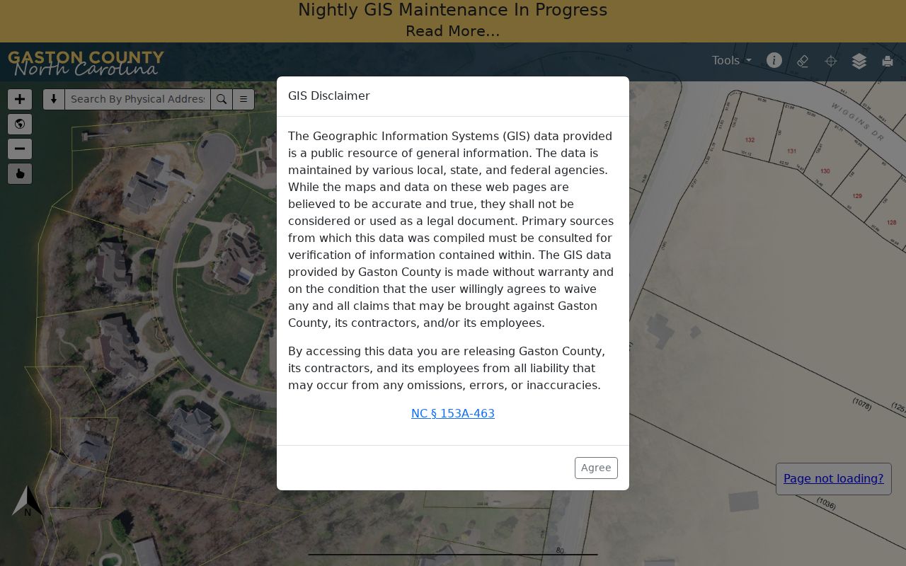
The image illustrates the official map interface used to inspect a parcel and its surroundings. Boundary questions still belong to the recorded deed, plat, or survey because the county describes the map as tax and reference data rather than a legal survey.
Note: Save the parcel number, PIN, and deed reference with the access date, since a map result can change as assessment and recorded data are updated.
Gaston Parcel Fields Are Not a Household
A parcel is the unit of land in county property records. It is not a household. The assessed owner is the name attached to the tax record. The mailing address is where tax correspondence goes. The physical address is the situs. A person who occupies a property may not appear in the owner field, and an owner may have a different mailing address or no current connection to the parcel.
Deed and plat references are source pointers. A deed can identify parties and the legal description for a transfer, while a plat is a recorded map of lots or subdivision land. Sales amount, acreage, value, use, and year built are tax characteristics. They should not be used to infer personal details about the people near an address.
- Parcel
- A county-defined tract used to connect tax and map data with an address, PIN, and recorded references.
- Situs address
- The physical location of the parcel, which can differ from the owner’s tax mailing address.
- ETJ
- Extra-territorial jurisdiction, an area where a city can have defined planning or regulatory authority outside its municipal limits.
- Plat
- A recorded map that can identify lots, blocks, subdivisions, and boundaries for the land described in a deed.
Map Gaston Neighbors From One Address
The adjacent-parcel workflow keeps the scope tied to a real geographic question. It begins with an address and ends with public parcel references, not a compiled profile of people nearby. For a named street’s longer deed trail, use the separate Gaston street directory; a block lookup is more limited by design.
- Find the physical address in the GIS search or map and open its parcel details.
- Record the parcel number, PIN, deed book and page, plat reference, city-limit or ETJ flag, and the distinction between situs and mailing address.
- Select adjoining parcel polygons or set a modest buffer, then review the result table one parcel at a time.
- Compare public deed or plat references when the question concerns a lot line, transfer history, or subdivision context.
- Use the appropriate city, county, or state office when a layer shows different fire, police, election, or municipal coverage.
The process is address to parcel, parcel to adjacent parcel, then parcel to the official source record. It avoids treating a mailing address, a land owner, or an older directory entry as proof of a current household.
Gaston Community Contact Routes
Gastonia’s recognized-community program is the county’s clearest official civic layer. The program describes groups with identifiable boundaries that met city parameters and received City Council recognition. It supports communication, feedback, meetings, resources, and city liaison relationships. It does not publish membership lists or establish that a parcel owner belongs to a group.
The City of Gastonia’s Recognized Communities page is the public source for the community descriptions and liaison structure.
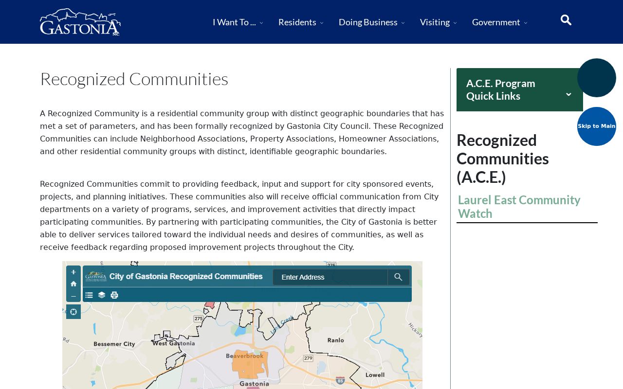
Use the city’s public route for meeting or liaison information. It is more respectful than assuming a person’s membership from a map result or property record.
| Recognized community | Public civic information | Contact route and boundary |
|---|---|---|
| Highland Neighborhood Association | Recognized community description and city liaison framework | Use the city recognized-communities route; do not infer a household membership list. |
| Riverwood Plantation HOA | Recognized community description and public civic context | Use the official city page or public association contact when available. |
| Bethesda Oaks HOA | Recognized community description and liaison context | Use the official city route; parcel ownership does not confirm membership. |
| Nolen Farm HOA | Recognized community description referenced in city material | Use city liaison or public meeting information, not a private roster. |
No official countywide neighborhood-association umbrella directory was located. For areas outside Gastonia, municipal pages, library local-history collections, and historical societies may supply public civic information, but the coverage is incomplete.
Note: Recognized-community information identifies public civic contacts, not every association or every person connected with a neighborhood.
Gaston Neighbor Voter Records Have Limits
The individual voter lookup is not a block browser. It requires first and last name, allows a middle initial and birth year, asks for the county, and requires at least one status selection. A public result may contain registration status, party, address, precinct, districts, and voter history. It does not show ballot choices, and history can lag after an election.
G.S. 163-82.10 makes full date of birth, Social Security fragments, driver-license data, email, ID images, and protected addresses confidential. A qualifying protective order or Address Confidentiality Program process can shield a voter’s address. A missing address can be a privacy protection, not evidence that a person has left the area.
The full county voter file follows a separate request process. The Gaston request form asks for a specific description and output choice, and it says requests are handled in Friday order with an election blackout from 10 days before early voting through 10 days after an election. Actual preparation costs should be confirmed with Elections. A lawful list request still does not authorize publishing a nearby-voter roster.
Note: An individual voter search takes a name first and is not a tool for browsing an address or a block.
Gaston Neighbor Searches Need Boundaries
A postal city or ZIP code does not prove municipal residence. The county’s USPS GIS layer includes postal areas that cross county and city boundaries. Alexis, Cherryville, Crouse, Iron Station, Kings Mountain, Stanley, Lincolnton, Shelby, and even Clover, South Carolina, have polygons that touch the county layer. An address must be checked at the parcel level before it is described as a Gaston address.
Gaston’s layer also marks High Shoals 28077 as PO Box Only. That is a postal fact, not a street-delivery location. Compare postal city and ZIP with the situs address, city-limits and ETJ fields, and the recorded legal description. Those separate keys explain why homes along one road may receive services from different public offices.
Historic blocks add another complication. Early local directories use mill-village labels such as Highland, Loray, Holland, Arlington, Flint, Gray, Groves, and Smyre. Those labels can help place an earlier household, but they should not be converted into modern community boundaries without a current official source.
Gaston Neighbor Sources Compared
For a Gaston block, official records identify their custodian, update cycle, and access limits. Commercial neighbor-search products are compiled data categories, not custodians. They can blend old tax information, public indexes, directories, and advertising data, which creates name collisions, stale addresses, and weak correction paths. When an official question remains unanswered, ask the office that holds the record rather than relying on an unidentified compilation.
| Source category | Strength | Limit for a Gaston block |
|---|---|---|
| Official GIS and property records | Parcel references, ownership assessment, map layers, and custodian context | Does not establish every occupant or resolve legal boundaries. |
| Official voter and civic records | Statutory public fields and public association contacts | Protected fields, addresses, and private membership remain unavailable. |
| Historical directories and library sources | Dated street and community context | May omit people and cannot verify a current presence. |
| Commercial compiled tools | May provide leads to check independently | Sources, date, identity match, and correction route can be unclear. |
For a dated record or a boundary question, save the official source, record type, and access date so the result can be checked again later.
Gaston Neighbor Lookup Privacy Limits
Public parcel information does not open private household information. Utility customer data, DMV address data, delivery information, protected-voter addresses, and Address Confidentiality Program addresses are not ordinary public block fields. The safest practice is to collect only the parcel or civic fact needed for the question, avoid reproducing mailing addresses, and stop when the record trail reaches a privacy boundary.
Chapter 132 allows requests for existing public records but does not compel a government office to create a new compilation or disclose information closed by another law. For a correction, redaction, or access question, contact the actual custodian. The Register of Deeds handles qualifying recorded-document redaction requests, Elections handles qualifying voter protections, and city or county offices can identify the correct record holder.
Lawful use. Use Gaston neighbor records for a personal, lawful purpose and civic curiosity. Never use a parcel, voter, or community record to stalk, harass, intimidate, or expose a protected person.